Across the Conus, one short wave departs across the Atlantic coast while a more robust system heads east across the southern Rockies.
Cool and clear conditions are ongoing across the local area as high pressure at the surface moves across the Sabine River Valley. Over the northwest gulf coast and between the two disturbances is a narrow ridge aloft.
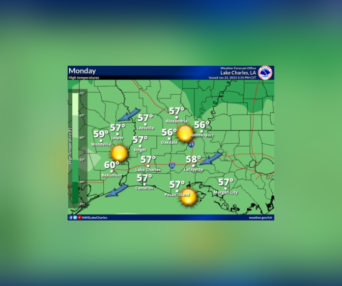
Today, tranquil yet cool conditions will continue; however, the ridge aloft and at the surface will depart, and the return flow will ensue.
The disturbance over the southern Rockies will move into SW TX by early Tuesday, allowing a low in developing in the vicinity of Brownsville. The surface low will move northeast, just inland, through the day dragging north a warm and moist air mass ahead of the system.
Upper divergence will also increase as the disturbance aloft approaches. Showers and storms will increase in coverage through the morning, peak out in the afternoon and early evening, and then decrease through the night.


